
EUSI and Albedo Partner to Deliver 10 cm Resolution Satellite Imagery to Europe
It is our pleasure to announce the partnership with Albedo, a builder of high-performance spacecraft and the first satellite designed to operate commercially in VLEO (Very Low Earth Orbit). This partnership will bring the world’s highest resolution satellite imagery to the European and North African market.

Updating the Land Parcel Identification Systems in 2025: The Benefits of Using Satellite Images
Agricultural paying agencies across Europe face increasing challenges in maintaining accurate and up-to-date Land Parcel Identification Systems (LPIS), ensuring compliance with the Common Agricultural Policy (CAP) and supporting sustainable agricultural practices.

EUSI Confirms Uninterrupted Satellite Imagery Support for Ukraine and European Security
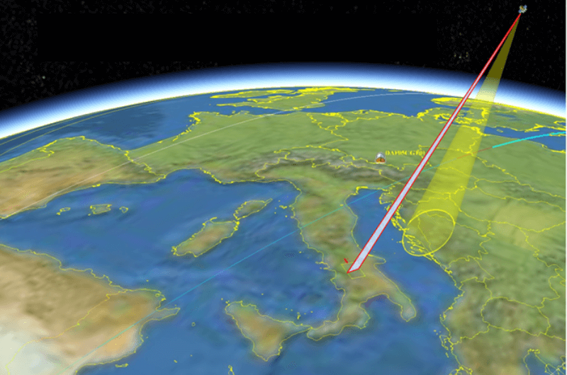
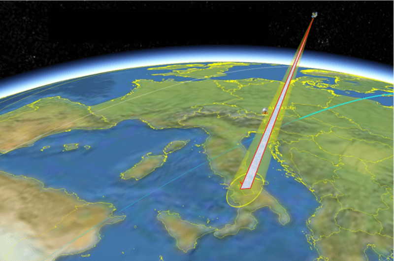
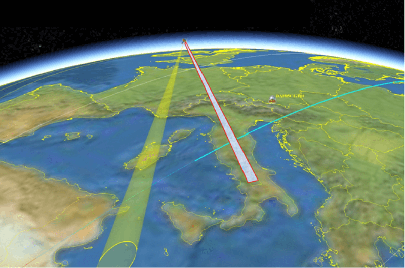
With the successful launch of Maxar Intelligence’s second set of WorldView Legion satellites, European Space Imaging (EUSI) will soon offer up to eight daily collection opportunities in key latitudes across Europe and North Africa – a number that will increase after the final WorldView Legion satellites are launched and all six satellites are operational.

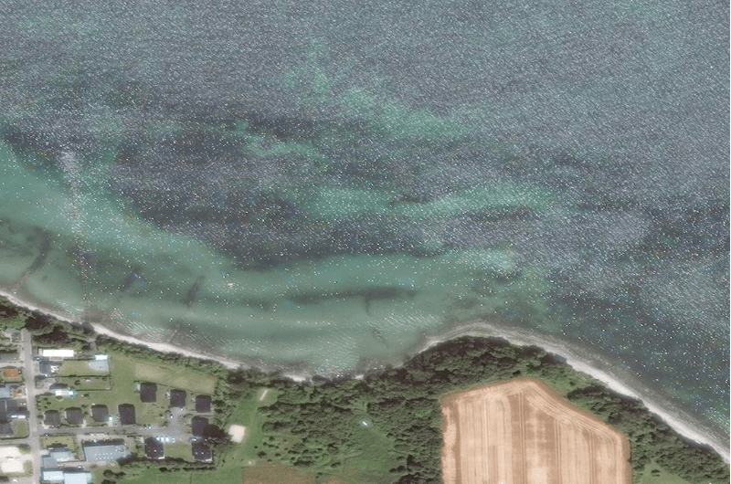
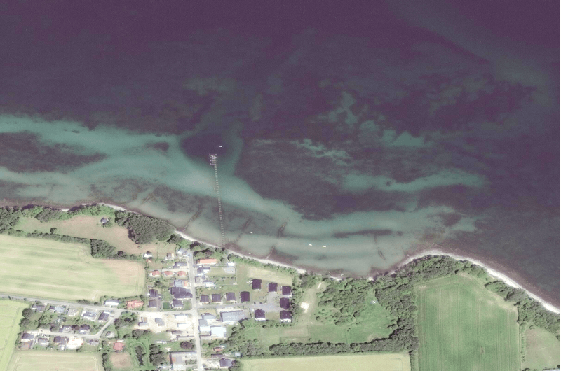
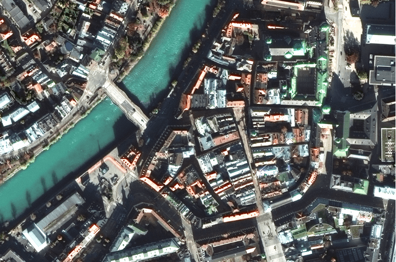
Civil Mapping: Three Case Studies From Germany
Three land-surveying authorities finished large-scale mapping projects using very high resolution satellite images in 2024. These are the challenges, solutions and results:


