


Updating the Land Parcel Identification Systems in 2025: The Benefits of Using Satellite Images
Agricultural paying agencies across Europe face increasing challenges in maintaining accurate and up-to-date Land Parcel Identification Systems (LPIS), ensuring compliance with the Common Agricultural Policy (CAP) and supporting sustainable agricultural practices.

EUSI Confirms Uninterrupted Satellite Imagery Support for Ukraine and European Security
With the successful launch of Maxar Intelligence’s second set of WorldView Legion satellites, European Space Imaging (EUSI) will soon offer up to eight daily collection opportunities in key latitudes across Europe and North Africa – a number that will increase after the final WorldView Legion satellites are launched and all six satellites are operational.

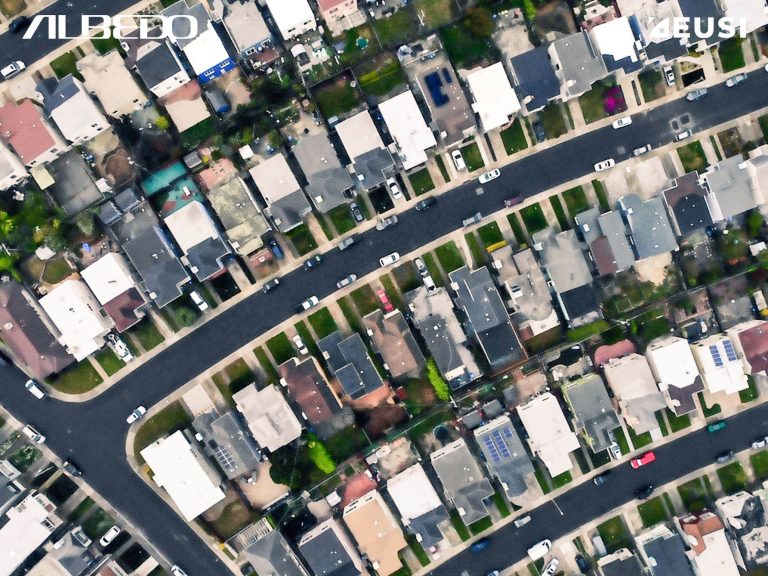
Civil Mapping: Three Case Studies From Germany
Three land-surveying authorities finished large-scale mapping projects using very high resolution satellite images in 2024. These are the challenges, solutions and results:

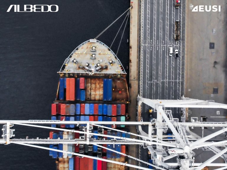
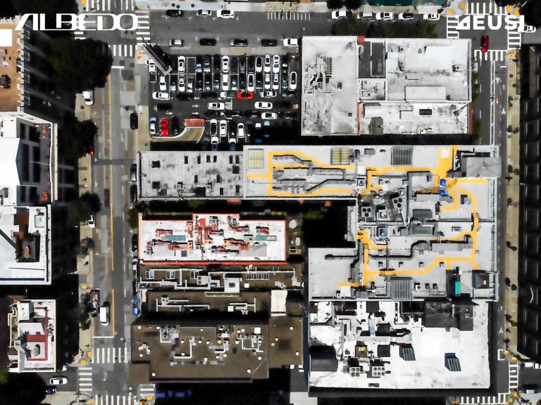
Large-scale Mapping: 7 Important Factors to Consider When Choosing Between Aerial and Satellite Sensors
Member states and regional mapping agencies are often split on preferring aerial or satellite datasets. Which one is better? Users should carefully compare the two platforms to ensure the best data collection for their project. While a combined approach using satellite imagery to fill missing aerial data gaps can be effective, many organisations at both EU and national levels depend solely on VHR satellite data for successful wide area coverage. Here are 7 major factors to consider.


