A new era in geospatial information
GLOBAL COVERAGE
You define your areas of interest from our available global coverage including more than 6,000 world capitals and
metropolitan areas in 30 cm resolution.
SUBSCRIPTION PRICING
Available at multiple pricing levels based on data consumption or streaming seats.
PREMIUM IMAGERY
Access the highest quality imagery in resolution, accuracy, and currency. View a highly aesthetic mosaic or see change over time with access to our historical archive.
CLOUD ACCESS
Search and download/stream the data you need, when you need it; easily share with others in your organisation or integrate into your existing workflow and applications.
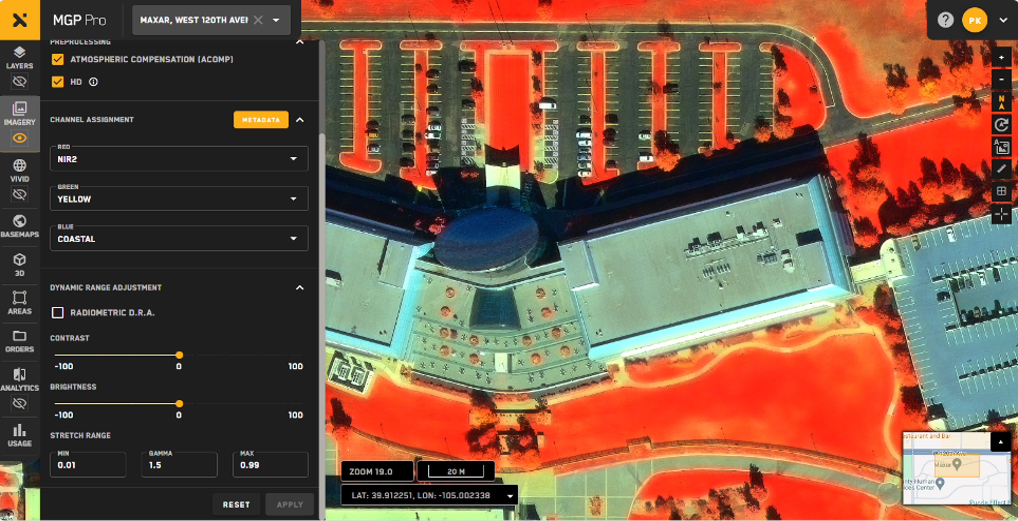
MGP Pro offers unparalleled 30 cm and derived 15 cm HD resolution with global coverage and fast image availability within 48 hours. It includes key metadata, a time-lapse archive for change detection, and true color orthorectified images and mosaics for offline use. Features like refresh alerts, Persistent Change Monitoring (PCM), and full MGP API access enhance your analysis. Additionally, you can access SWIR imagery, stereo pairs, and integrate with your preferred GIS tool, all with no concurrent user restrictions.
Is mgp pro right for your project?
See this powerful mapping tool in action with our interactive demo.


