
Remote Sensing of Mass Movements in the Bavarian Alps
Mass movement in the Alps pose enormous hazards. Due to a range of factors, it
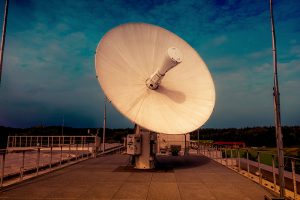
European Space Imaging Renews Contract With Maxar Technologies To Provide Europe With The World’s Best Resolution Commercial Satellite Imagery
European Space Imaging and Space Imaging Middle East have extended their ongoing contract with Maxar


