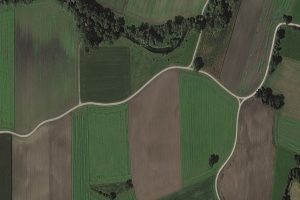
European Space Imaging Awarded €20.5 million Agriculture Framework Contract by European Commission
Leveraging their high success rate from previous years, European Space Imaging has been awarded a
Heeding the Herd: Detecting Elephants from Above
VHR satellite imagery supplied by European Space Imaging to Isla Duporge, Lead Project Researcher from
Satellogic successfully launches 10 new satellites expanding European Space Imaging’s satellite access portfolio
On Friday 6 November, Satellogic, the first company to develop a scalable Earth observation platform
Discover
What's
NEW
FIND WHAT YOU'RE LOOKING FOR
Resource Type
Industry
Application
Maxar WorldView Legion Satellites: The Successful Launch & Its Impact on EO Applications in Europe
WorldView Legion satellites collect at 30 cm-class resolution, offer 8 spectral bands (some of which are different from WorldView-3), and increase Maxar’s imaging capacity to 6.6 million km2 a day. What are the specifications of the imagery? What technical innovations make the satellites smaller yet as powerful as their predecessors? And how does their unprecedented revisit rate transform critical sectors like defence and disaster response? Learn about the technical parameters and real-world applications of Maxar WorldView Legion in this article.
MEP Sees Growing Responsibilities for High-Precision Satellite Observation Technology
Dr. Angelika Niebler visits European Space Imaging. Europe’s leading provider of high-resolution satellite imagery received a visit last Tuesday from Dr. Angelika Niebler, Member of the European Parliament who wanted to gain an insight into the activities of the medium-sized company in Munich. Dr. Niebler was particularly interested in understanding
MGP Pro Demonstration
Instant access to VHR satellite imagery via web or API. European Space Imaging recently recorded a webinar in which they demonstrated all the functionality of the powerful new satellite imagery platform by Maxar, SecureWatch. More Videos
MGP Pro: The Next Generation of SecureWatch for On-demand Access to VHR Imagery
MGP Pro provides unrivalled coverage, quality and flexibility. Its subscribers can access over 3 million square kilometers of daily image collections, plus more than 6 billion sq km of archived imagery at up to 30 cm resolution.
MGP Pro: the Next Generation of SecureWatch for On-demand Access to VHR Imagery
Maxars’s MGP Pro is the premier, cloud-based subscription platform for secure and timely access to Earth Intelligence. With a broad range of imagery and geospatial data products, MGP Pro provides unrivaled coverage, quality and flexibility. MGP Pro subscribers can access over 3 million square kilometers of daily image collections, plus