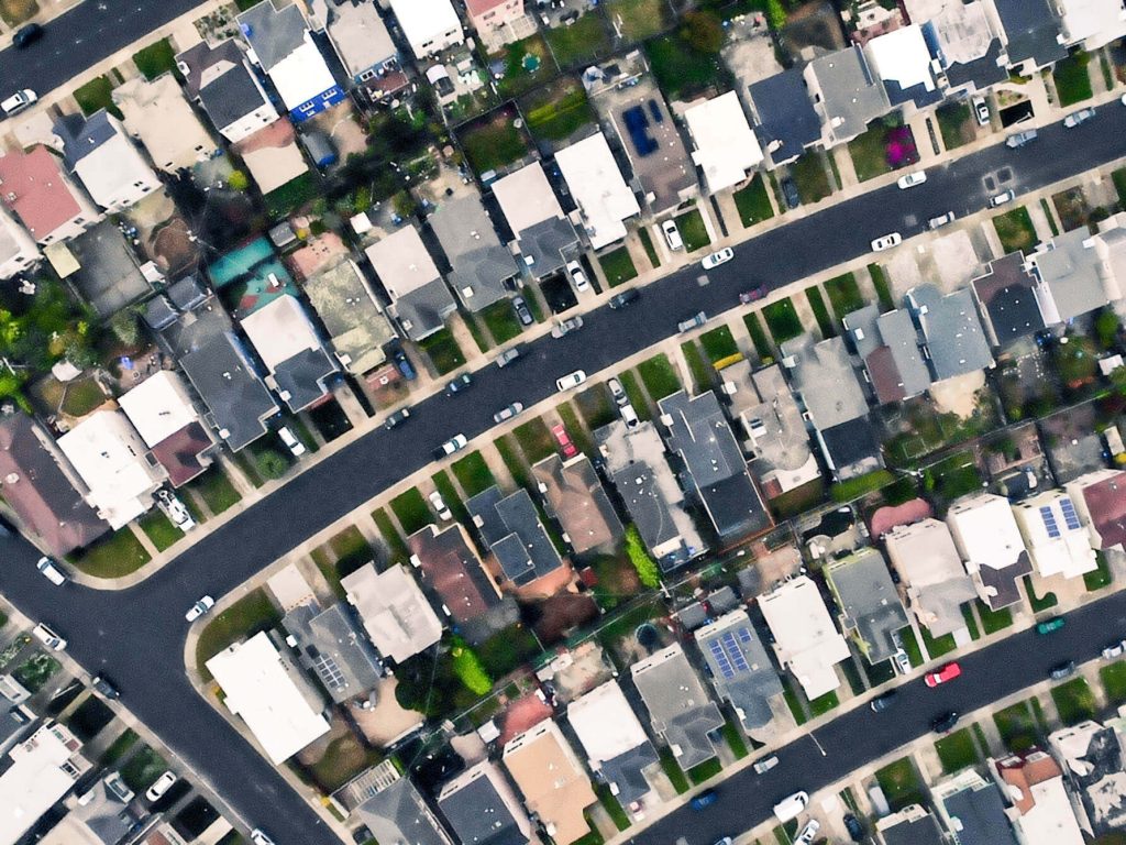
EUSI and Albedo Partner to Deliver 10 cm Resolution Satellite Imagery to Europe
It is our pleasure to announce the partnership with Albedo, a builder of high-performance spacecraft and the first satellite designed to operate commercially in VLEO (Very Low Earth Orbit). This partnership will bring the world’s highest resolution satellite imagery to the European and North African market.

First Images From WorldView-3
On August 13, 2014, DigitalGlobe launched WorldView-3 into orbit. On August 19, a mere six days after launch, they completed commissioning the satellite bus and

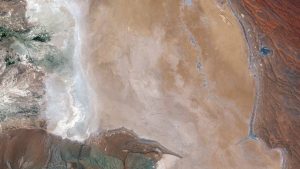
Seeing the Invisible: Carbon Leaks
With worldwide coal-powered plant capacity set to increase by 35% before 2020 and hence increase the annual amount of Carbon Dioxide (CO2) generated by many
Space Scout: A Site for Speed
Selecting and preparing the site where the Bloodhound supersonic car (SSC), hopefully the world’s first car to reach a speed of 1,000 miles per hour
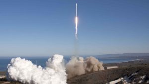
WorldView-3 Satellite Launched
Today the DigitalGlobe WorldView-3 satellite was launched from Vandenberg Air Force Base in California. The satellite was sent up on a United Launch Allliance Atlas
WorldView-2 Satellite Coverage of European Urban Zones Nearing Completion
European Space Imaging continues its acquisitions of Europe’s cities with WorldView-2, the world’s most advanced VHR satellite. European Space Imaging started the coverage in 2011

European Space Imaging Awarded Major European Commission Contract for CAP
European Space Imaging announced today that they have joined forces with e GEOS and DigitalGlobe to provide imagery and data processing services as part of

Ensuring Food, Farming, and Fairness
The Common Agricultural Policy (CAP) of the European Union is in place to ensure a fair standard of living for farmers through subsidies and other

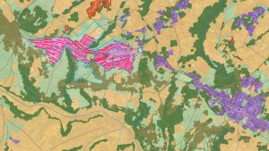
Habitat Preservation Using Satellite Imagery
The Hartibaciu Tableland encompasses about 2,500 square kilometers in central Romania and is home to many rare species of birds, flora, and fauna. It is
Satellite Mapping Enables UNHCR to Help Sudanese Refugees
The ongoing civil conflict in Sudan has left the country home to one of the world’s most serious refugee problems with more than 2.5 million

Greek History Protected by Historic Data
Known widely as the Cradle of Civilization and the Birthplace of Democracy, the history and legacy of Greece is unrivaled. From Thessaloniki in the north,

Satellite Imagery Brings Malawians Clean Water
Malawi, located in southeast Africa, is one of the world’s most impoverished and least developed countries. Its capital city, Lilongwe, with a population nearing 800,000,

Staying Green: Madrid’s Urban Monitoring
In cities around the world highways are being torn down so waterfronts can be reclaimed for public use. For many decades, cities have focused on


