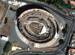
18 European Landmarks in Satellite Images
Satellite sensors captured unique architecture, breathtaking nature and centuries of history. Explore the Colloseum, La Sagrada Familia, the Leaning Tower of Pisa, and other landmarks.
Understanding ONA in Satellite Imagery: What is Off Nadir Angle and What Is It Used For?
Off Nadir Angle (ONA) plays a crucial role in the quality of optical satellite imagery. It influences its resolution and clarity, decides the visibility of features, and makes it easier or harder to identify objects. Moreover, ONA is used to create stereo imagery and 3D models of the Earth’s surface. Read on to learn more.
Sun Glint Can Ruin Satellite Imagery. How Do We Avoid It?
Sun glint occurs when sunlight reflects off water or another reflective surface at the satellite sensor, creating a bright glare in the image. That can make it impossible to extract useful information from satellite imagery. What do we do to minimise its impact?
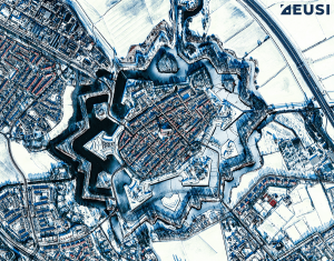
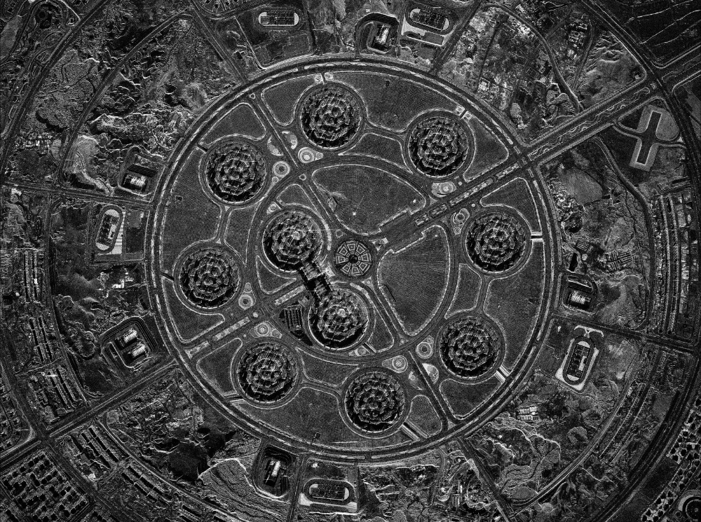
What do Star Forts Look Like From Space? 20 Satellite Images That Will Take Your Breath Away
Star forts are not only perfect examples of effective military engineering; they are also beautiful. Let’s join us on a fascinating journey through architecture and history – from space. All satellite images in this article were collected by WorldView-3, WorldView-2 or GeoEye-1 at 30–50 cm resolution.


